Getting the data off the canal is the hard part.
Headgates and laterals sit where there is no power line and no cell service, which is why most of them have never reported a number. A CanalSense node is a self-powering wireless sensor built for those sites. It takes its power from the water it sits in and carries its own long-range radio, so the only thing it needs from a site is moving water.
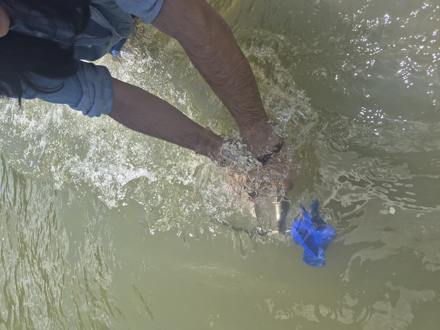
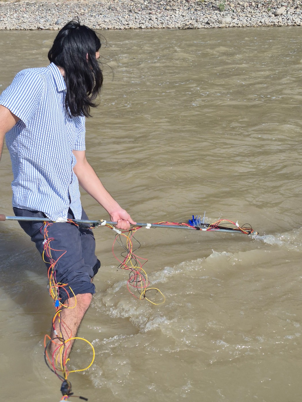
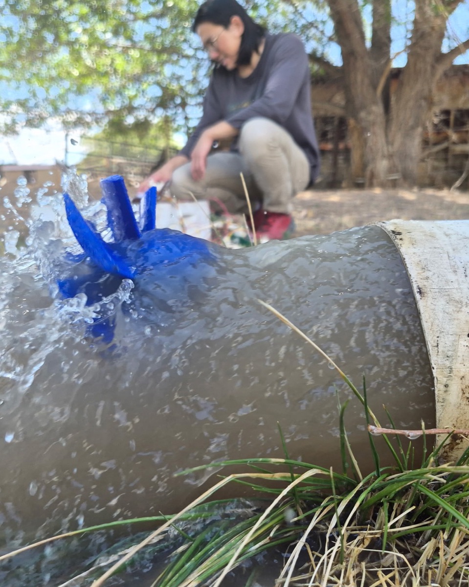
One part in the flow does two jobs
Most field sensors treat power and sensing as separate problems, a battery or solar panel for one and a meter for the other. CanalSense uses a single in-flow rotor for both. Water turns it, an electro-mechanical generator converts that motion into the electricity the node runs on, and the rate of the same motion is the reading. One moving element means less to seal and less to fail, and it keeps the cost of each additional node low enough that a district can cover a whole system instead of one gauge site.
Power
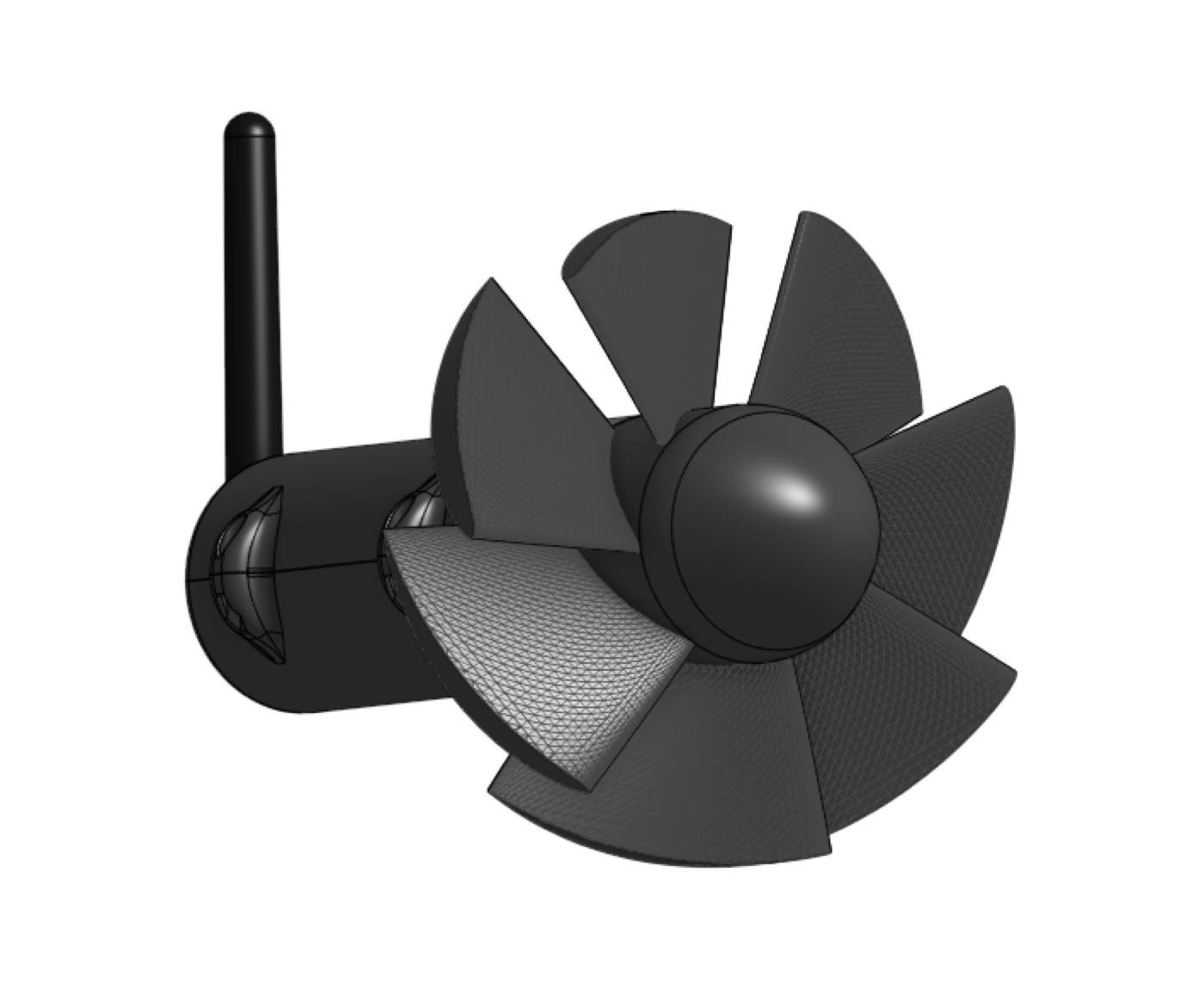
A canal gives up very little energy, so the node is built to spend less than it collects. Between readings the electronics idle in the microamp range. The only meaningful draw is the radio burst, and that lasts a fraction of a second. The generator output is rectified, held to a usable rail against an input that rises and falls with the flow, and stored in a reservoir sized to cover that burst. Firmware checks the reservoir before every transmission and waits if the charge will not finish one, which is what keeps a node from browning out halfway through a send.
The open question is the low end. We are running nodes across the full range of canal flow, from spring runoff down to a late-season trickle, to find the point where what the water gives no longer covers what the node spends.
Radio
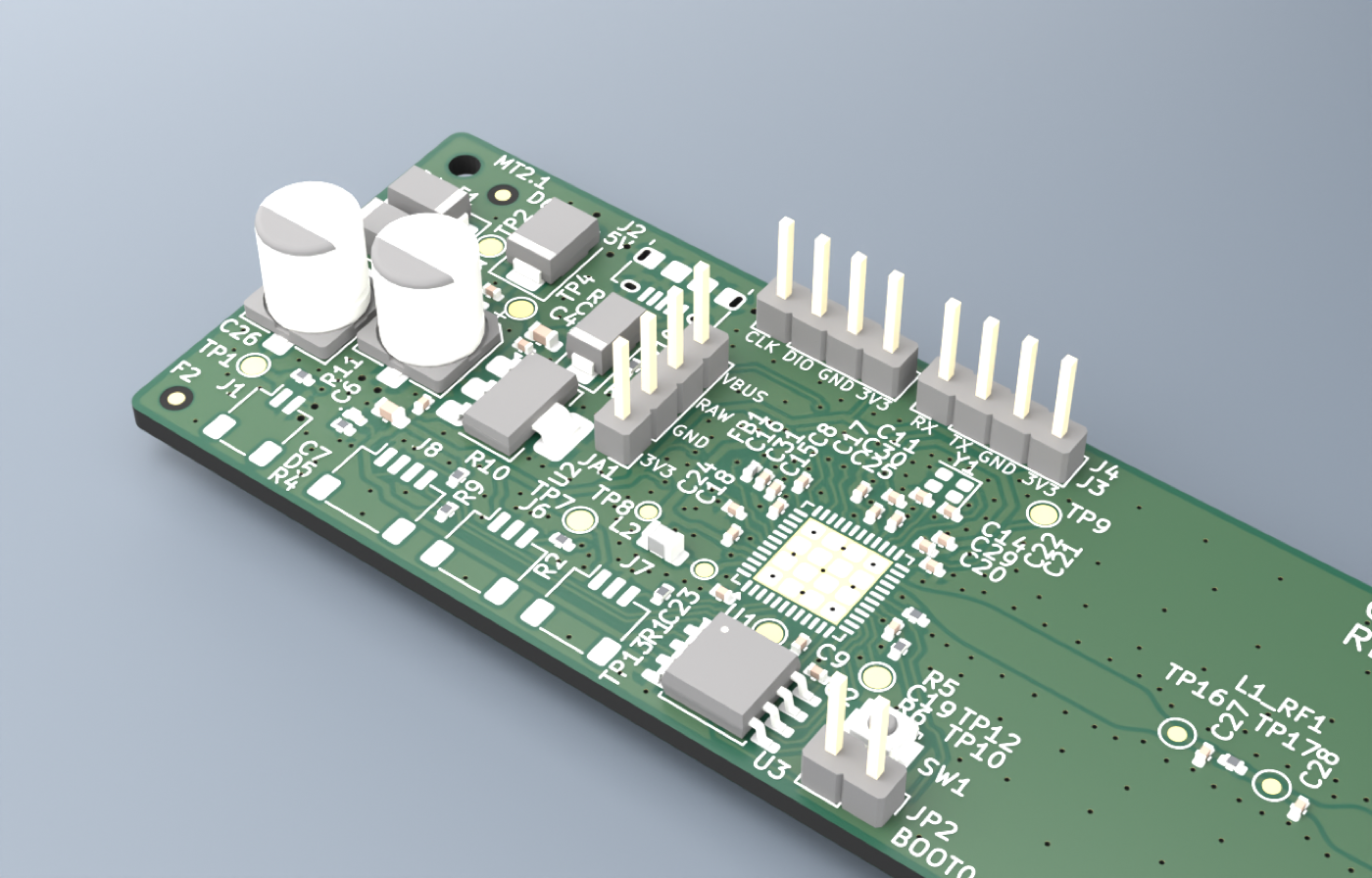
Water in the West runs in long, remote lines, which is the kind of distance 433 MHz LoRa is good at. A sub-gigahertz carrier reaches much further than 2.4 GHz for the same power and tolerates terrain and vegetation better, and LoRa's spread-spectrum modulation buys additional link budget by trading throughput, which a flow reading does not need, for sensitivity, which distance demands.
When we modeled a real headgate-to-gateway hop in the Grand Valley, the radio came out tens of decibels clear of what the path asked for. The obstacle was not the link budget. It was a single knoll breaking line of sight. That result is why antenna height and siting get more of our attention than transmit power does, and why a water-powered relay node, placed downstream where the view opens up, is in development for the sites terrain closes off.
Data
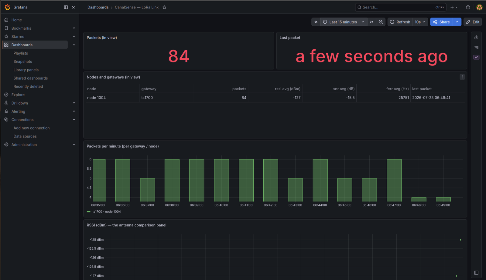
A district has to be able to defend its numbers when someone challenges them. Packets reaching the gateway are written into a time-series database and served through a dashboard, where they become live readings, history by node, and exportable records for delivery accounting and grant reporting. Every packet carries the identity of the node that sent it, written into the board when it is flashed, so a number is always attributable to a specific device at a specific site.
Every node reports its own health next to its readings, so your staff can tell a failed sensor from a canal that has actually gone dry, and act on the difference the same day. Readings hold on the node through a radio gap and sync when the link returns, so a quiet hour never becomes a hole in the record. Each site is calibrated to its own channel, which is what turns a rotation count into a number a district can put in a delivery report.